Pasco County GPS Numbers
GPS Coordinates > Central West > Pasco
 Pasco County with New Port Richey at it's core, has 20 miles of shoreline with three
large
artificial reefs areas, one with surplus army tanks. There are also many offshore
islands offering anglers more opportunities for catching Redfish and Snook. Anclote Key Preserve State Park with it's 100 foot lighthouse is located a few miles offshore offering day-tripper a great island to explore along with good fishing near the numerous small islands and sandbars that flank the Anclote Keys. With an abundance of submerged rocks offering many holes for fish to live, you will never run out of places to explore, especially inside the Fillman Bayou and the Devils Rock Yard. We also include the Middle Grounds coordinates on Pasco County because it is the closest land mass to the sites.
 Central West Reefs & Shipwrecks
GPS Numbers File Downloads
 PDF
PDF  KML
KML  GPX
GPX
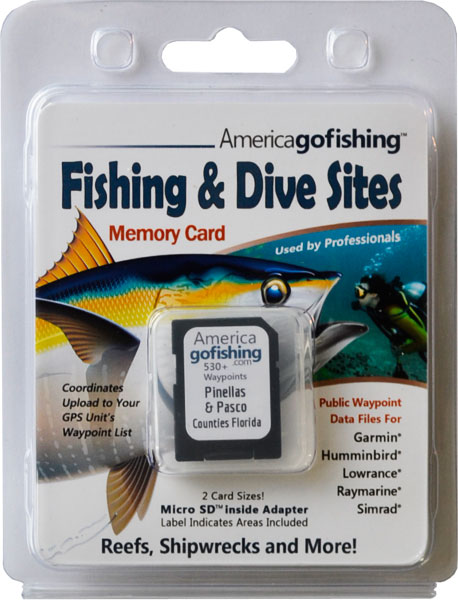
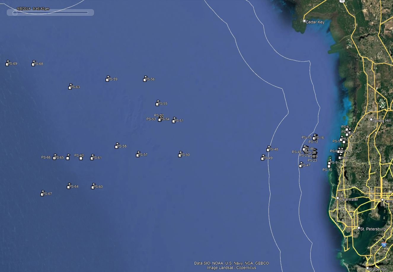
Click the Fishing & Dive Sites memory card image above to purchase Pasco County reef sites on a chip. The map below shows the reef site locations included and how they will look on your GPS unit. The site names, materials and rules are located inside the waypoint's description field. Visit Waypoints on GPS Units for more information.

|
| D = DEPTH - the depth of water in feet to the bottom in reef area |
R = RELIEF - the height that the materials rise above the bottom in feet |
Symbol Index |
 |
***The omission of symbols on charts does NOT mean it is OK to fish, lobster or spearfish a site - inquire about rules locally.
- Not for Navigational Use. GPS Numbers Are Not Guaranteed. There are No Warranties Expressed or Implied.
- Due to the Increased and Severity of Recent and Past Hurricane Activity it is Very Possible These Numbers May Be Off.
- Rules change frequently, always inquire locally before fishing, lobstering, or spearfishing.
Florida Go Fishing, Inc. provides this website as a public service. This data is provided as a tool to increase your fishing, boating and diving enjoyment and is not intended to be used for navigational purposes. Multiple resources were used to create our GPS coordinate lists. We are continually editing and updating our waypoint data to improve positional accuracy and information. Although periodically updated, this information may not reflect the data currently available for purchase on our store and we assume no liability either for any errors, omissions, or inaccuracies in the information provided regardless of the cause of such or for any decision made, action taken, or action not taken by the user in reliance upon any information provided herein. This information is provided only as a courtesy and there are NO guarantees, warranties, expressed or implied, or representations as to the accuracy of this content. We assume no responsibility for location changes or inaccuracies of rules, buoys, hazards, markers, or coordinates. If you find an error or omission in our data, please contact us with the correct information or submit a reef report and we will investigate the discrepancy and make necessary corrections.
Our GPS coordinate lists are DERIVED WORKS created from many sources. Reproduction or distribution of our lists in any format is a violation of Federal law and we will prosecute unlawful use or distribution of our data to the full extent of the law. This webpage is locked to prevent printing and copying of our copyrighted work.


 Pasco County with New Port Richey at it's core, has 20 miles of shoreline with three
large
artificial reefs areas, one with surplus army tanks. There are also many offshore
islands offering anglers more opportunities for catching Redfish and Snook. Anclote Key Preserve State Park with it's 100 foot lighthouse is located a few miles offshore offering day-tripper a great island to explore along with good fishing near the numerous small islands and sandbars that flank the Anclote Keys. With an abundance of submerged rocks offering many holes for fish to live, you will never run out of places to explore, especially inside the Fillman Bayou and the Devils Rock Yard. We also include the Middle Grounds coordinates on Pasco County because it is the closest land mass to the sites.
Pasco County with New Port Richey at it's core, has 20 miles of shoreline with three
large
artificial reefs areas, one with surplus army tanks. There are also many offshore
islands offering anglers more opportunities for catching Redfish and Snook. Anclote Key Preserve State Park with it's 100 foot lighthouse is located a few miles offshore offering day-tripper a great island to explore along with good fishing near the numerous small islands and sandbars that flank the Anclote Keys. With an abundance of submerged rocks offering many holes for fish to live, you will never run out of places to explore, especially inside the Fillman Bayou and the Devils Rock Yard. We also include the Middle Grounds coordinates on Pasco County because it is the closest land mass to the sites.![]() Central West Reefs & Shipwrecks
Central West Reefs & Shipwrecks![]() PDF
PDF ![]() KML
KML ![]() GPX
GPX 


