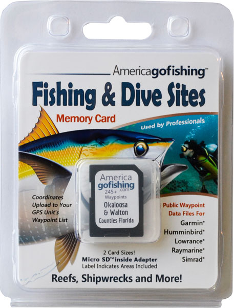
Walton County GPS Numbers
GPS Coordinates > Panhandle > Walton
 Walton County is blessed with the 27 mile long Chotawhatchee Bay offering a variety
of
fishing areas. The bay has four basic natural habitats: shallow slope areas (vegetated,
unvegetated, and oyster beds), deep central basin regions (unvegetated), bayous, and a river delta area, with East Pass connecting the bay to the Gulf of Mexico. Our GSP coordinates for Walton County include both bay and offshore sites to the longitude of 8616 and we thow in a few popular wrecks from neighboring Okalossa and Escambia Counties. You might also want to check out Bay Counties reefs for more angling options.
![]() Northwest Reefs & Shipwrecks FREE GPS File Downloads
Northwest Reefs & Shipwrecks FREE GPS File Downloads ![]() PDF
PDF ![]() KML
KML ![]() GPX
GPX
| Site ID / Reef Name | Materials / Description | D | R |
|---|---|---|---|
| WA-1 Walton 1 | 65 Concrete Pyramids aka Grouper Ghettos in 14 Locations | 58 | 6 |
| WA-2 Seagrove Reef | 300 tons of Concrete Culverts in a 40'x150' Area | 70 | |
| WA-3 Walton Hopper Barge | 195x35x12 Steel Barge with 100 tons Steel Ballast | 77 | 12 |
| WA-4 Frangista Beach Culverts | 52 pieces of Concrete Culverts 6X8 and 4X8 foot | 77 | 6 |


